Government of Nepal
Ministry of Land Management, Cooperatives & Poverty Alleviation
Survey Department


|
| Identification Info | |
|---|---|
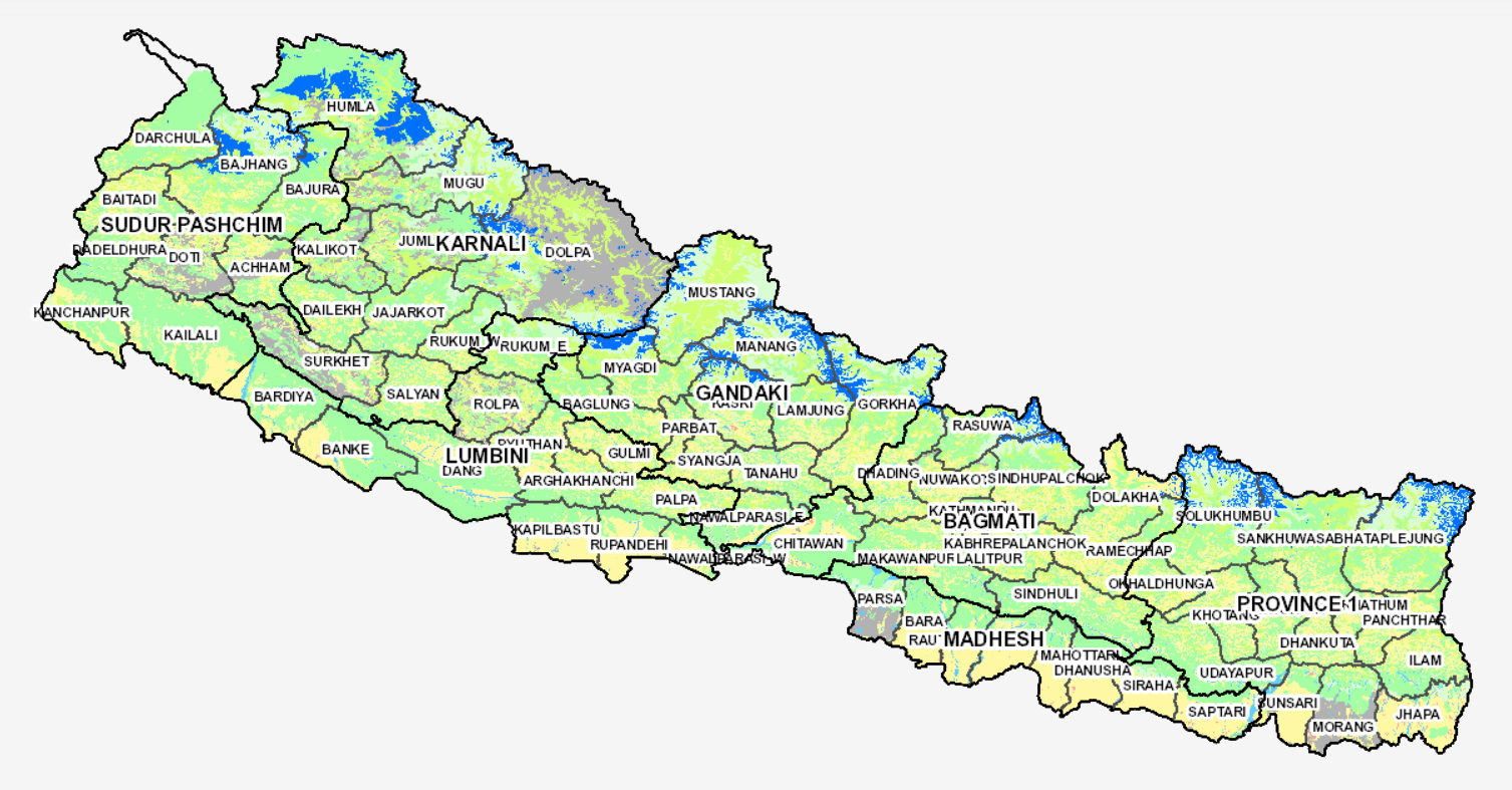
| Title | Landuse of Nepal 2010 |
| Date | 2010-06-18T15:42:13 |
| Date Type | publication |
| Schema | iso19139 |
| Abstract | The identification of present status of land use and land cover is the basic for proper land management. It requires detail information about the land, the people and services at local level. The notion 'land cover' refers to the vegetative or non-vegetative characteristics of a portion of the earth’s surface whereas; 'land use' describes some human activity on the surface. As per the Land Use Policy - 2072, eleven land use types are defined. These are agricultural area, residential area, commercial area, industrial area, mine and minerals area, cultural and archaeological area, riverine and lake area, forest, public service are and others. This section aims to discuss on present land use of the District. Existing land use maps, and database were prepared using ground survey method, aerial photographs, satellite images (WorlView-2) as well as varieties of secondary sources (topographical maps, cadastral maps and other relevant land use land cover maps). Land use classification was done with visual interpretation and manual designation of land uses along with extensive field verification in pre-defined hierarchical classification system. The stepwise procedure adopted to generate the land use map included i) geometric correction and Ortho-rectification, ii) classification, iii) visual image interpretation and iv) accuracy assessment. The accuracy of the results was assessed and overall accuracy was obtained as 95.59 percent with KIA coefficient 0.93. |
| Purpose | Land use data for general purpose |
| Status | completed |
| Charset | utf8 |
| Topic Category | Landuse |
| Spatial Representation Type | vector |
| Spatial Resolution Equivalent Scale | 1:50,000 |
| Descriptive Keyword | Land cover, land use, Morang, Nepal |
| Metadata Record Info | |
|---|---|
| Language | eng |
| Charset | utf8 |
| Hierarchy Level | |
| Date | 2010-06-18T15:42:13 |
| Standard Name | ISO 19115:2010/19139 |
| Contact | |
|---|---|
| Name | Er. Rajeev Gyawali |
| Organization Name | Survey Department |
| Position name | Survey Officer |
| Role | author |
| Cited Responsible | |
|---|---|
| Individual Name | Mr. Prakash Joshi |
| Organization Name | Survey Department |
| Position name | Director General |
| Role | distributor |
| Geographic Extent | |
|---|---|
| Geographic Extent East | 916907.743 m |
| Geographic Extent West | 115727.226 m |
| Geographic Extent North | 3371453.500 m |
| Geographic Extent South | 2919115.616 m |
| Resource Maintenance Information | |
|---|---|
| Maintenance and update frequency | asNeeded |
| User Defined Maintenance Frequency | |
| Date of Next Update | |
| Legal Constraints | |
|---|---|
| Use Limitation | |
| Access Constraints | copyright |
| Use Constraints | otherRestrictions |
| Reference System Information | |
|---|---|
| Code | Everest Modified UTM 84 |
| Data Quality Info | |
|---|---|
| Hierarchy level | attributeType |
| Statement | The accuracy of the Digital Data prepared depends on the base source Data and Maps. No assessment or ground truthing has been carried out on this data. |
| Distributor Info | |
|---|---|
| Individual Name | Mr. Prakash Joshi |
| Organization Name | Survey Department |
| Position name | Director General |
| Role | distributor |